Description
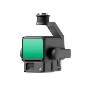
DJI Zenmuse L1 Lidar Drone Payload
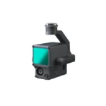
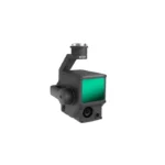
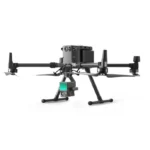
The DJI Zenmuse L1 LiDAR drone payload is an all-in-one solution for high-accuracy aerial surveying and mapping. Equipped with a LiDAR module, a high-precision IMU, and a 20 MP RGB camera, the Zenmuse L1 captures detailed 3D data in real-time. It’s designed to work seamlessly with the DJI Matrice 300 RTK, offering efficient point cloud generation, even in challenging environments like dense forests or rugged terrains. With its ability to capture true-color point clouds and perform precise measurements, the Zenmuse L1 is ideal for applications in topographic mapping, forestry management, and construction site monitoring.
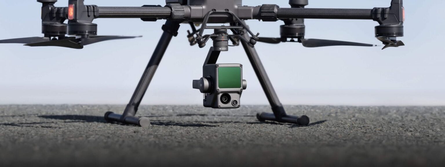
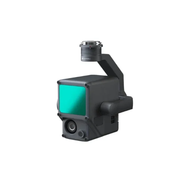
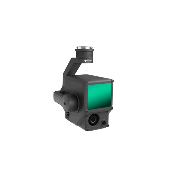
1. Integrated LiDAR, IMU, and RGB Camera: The DJI Zenmuse L1 combines a LiDAR module, a high-precision IMU, and a 20 MP RGB camera into a single unit. This integration allows for simultaneous collection of 3D point clouds and true-color images, making it an all-in-one solution for geospatial professionals.
2. High-Efficiency Data Collection: With the Zenmuse L1 LiDAR payload, you can capture up to 240,000 points per second and generate accurate point clouds in real-time. This makes it possible to cover large areas quickly and efficiently, ideal for tasks like topographic mapping and environmental monitoring.
3. Precision and Accuracy in Challenging Environments: The DJI Zenmuse L1 delivers accurate data even in complex environments, such as areas with dense vegetation or uneven terrain. Its ability to penetrate foliage and capture detailed ground data makes it suitable for forestry management and agricultural surveys.
4. True-Color Point Clouds with RGB Camera: The integrated 20 MP RGB camera allows the Zenmuse L1 to produce vivid, true-color point clouds, enhancing visualization for applications like construction site analysis, urban planning, and infrastructure inspection.
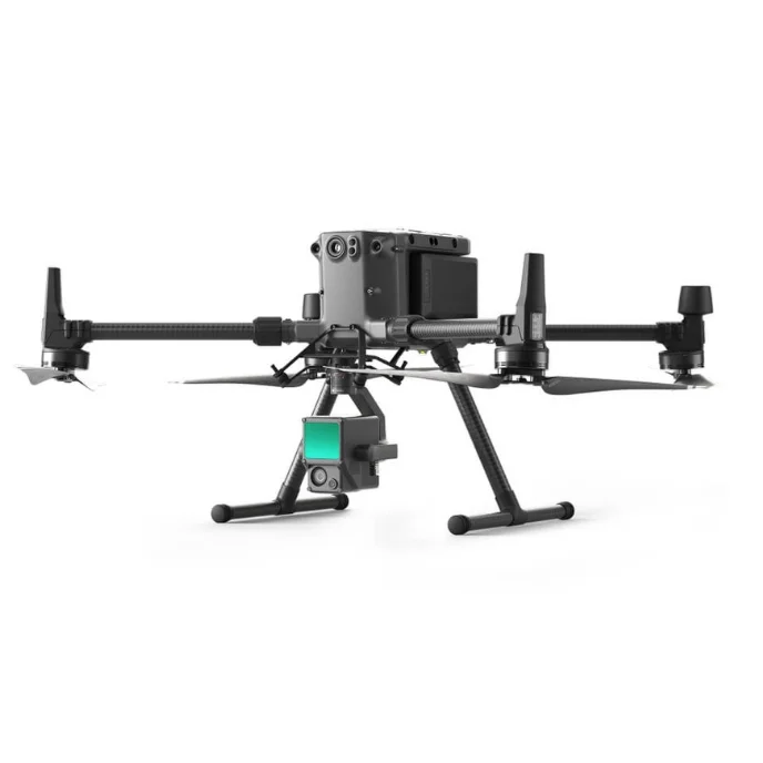
5. Seamless Integration with DJI Matrice 300 RTK: The DJI Zenmuse L1 is designed to work flawlessly with the Matrice 300 RTK, offering powerful features like real-time kinematics (RTK) for centimeter-level accuracy. The synergy between the payload and the drone ensures reliable data collection with minimal setup time.
6. Real-Time 3D Data Visualization: The Zenmuse L1 LiDAR drone payload offers real-time 3D visualization, allowing surveyors and operators to see point clouds and assess data on-site. This reduces the need for repeat missions and enhances workflow efficiency.
7. Rugged and Reliable for Harsh Conditions: The DJI Zenmuse L1 is IP54-rated, providing protection against dust and water. This durability allows the payload to operate in various weather conditions, ensuring consistent data collection in rain, fog, or other challenging environments.
8. Easy Data Processing with DJI Terra: The Zenmuse L1 is fully compatible with DJI Terra software, streamlining the processing of LiDAR data and RGB imagery into accurate models and maps. This integration simplifies post-processing, saving time and effort in creating deliverables.
The DJI Zenmuse L1 LiDAR drone payload is a game-changer for professionals seeking high-accuracy mapping and surveying solutions, offering efficient data capture, seamless integration, and reliable performance in diverse applications.





There are no reviews yet.