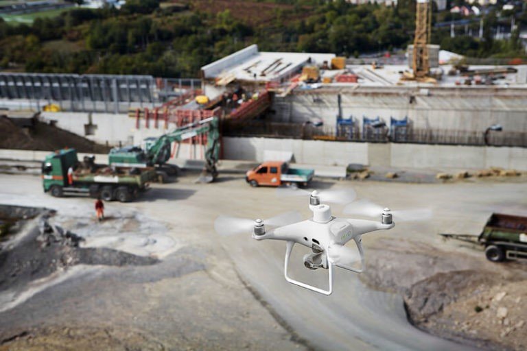
Aerial survey, also known as photogrammetry is a process of image acquisition of a surface from an elevated position. It is a method of collecting geomatics or other imagery by using airplanes, helicopters, UAVs, balloons or other aerial methods.
Aerial Photography provides means of capturing important data required for civil engineering projects. Aerial photograph for Civil Engineering Projects has a unique perspective that is difficult to obtain by any other means. Aerial photography provides a quick and accurate method of providing vital information to assess the feasibility of a potential project or the progress of an existing project, whether it is a highway, roadway, power plant, bridge, airstrip, facility or any civil engineering undertaking.

Aerial Photography gives urban planners a clear overview of large areas of land, making road planning, real estate management, and land use calculations quick and easy. Ground crews can also save time while executing complicated land initiatives by using aerial photography to pinpoint their exact position. It is also an invaluable tool that helps decision makers analyze and review the success of existing land use plans.
Aerial photography is used in cartography (particularly in photogrammetric surveys, which are often the basis for topographic maps), land-use planning, aerial archaeology.
Survey and Mapping
The aerial survey is proposed by various government agencies /autonomous bodies for developmental projects and also by private agencies/individuals for private purposes. As per the existing procedure, applications for grant of NoC for aerial photography/surveys received by the Directorate General of Civil Aviation (DGCA) are forwarded to various stakeholders of Single Point Clearance Committee (SPCC) under the Ministry of Defence (MoD) for their recommendations. Bases on the inputs of the concerned authorities, the Ministry of Defence decides upon grant/refusal of NoC for such aerial photography.

- The newly developed MoD web portal is aimed at facilitating the vendors for submission of applications online for grant of permission for aerial photography/remote sensing survey.
- The automated/online system will help in reducing the time, bringing in more transparency, accuracy and speedy disposal of applications for grant of NoC by MoD and permission by DGCA.
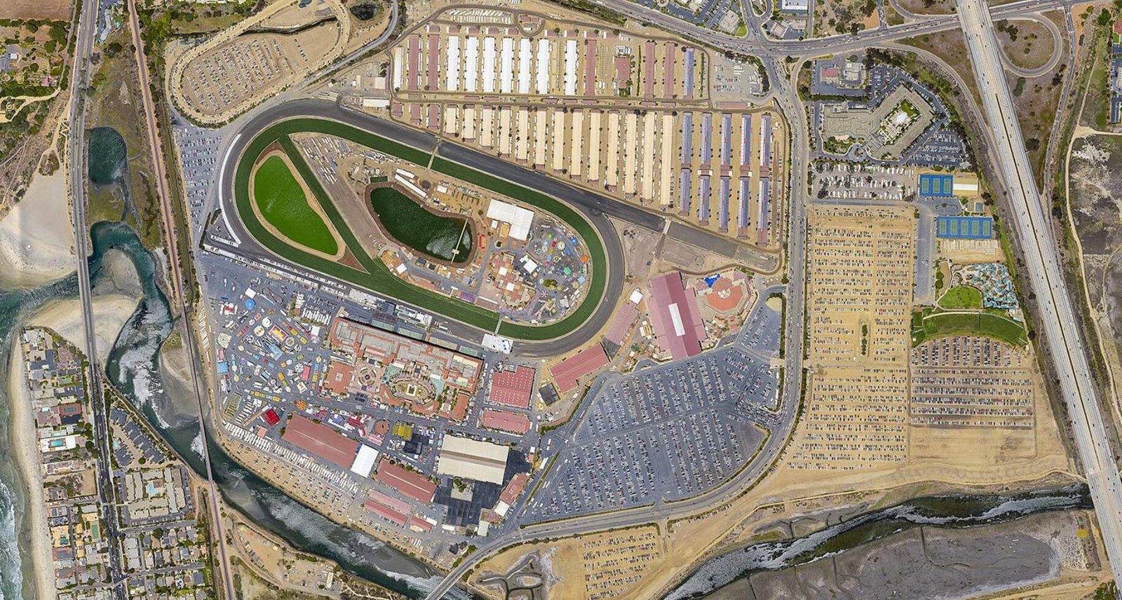
- Vertical Aerial Photography, (also sometimes called as “satellite views”, “aerial surveys”, “orthophotos” or “orthomosaics”) are photos taken straight-down (nadir) from either an aircraft or satellite.
- They are different than oblique aerial photography (sometimes called “bird’s eye views”), which are photographs also taken from an aircraft, but at an angle.
- Vertical aerial photographs are generally not as aesthetically-pleasing as oblique aerial photographs, but are used as workable data, such as for aerial photo maps or to produce digital elevation models (DEMs).
A BIRD’S EYE VIEW OF THE DELAWARE VALLEY: THE DALLIN AERIAL SURVEY COMPANY, click here to view

Aerial survey of Drones as observers in the sky will remain important for the indefinite future. They will grow easier to operate. The ease of flying and taking pictures can mask the fact that questions concerning how to use those pictures will not get any easier with higher sensor resolutions, better lenses, or cheaper memory and in the upcoming time Aerial survey of Drones will use across all over the world.


